Maps, Los Angeles and the Pacific-Southwest
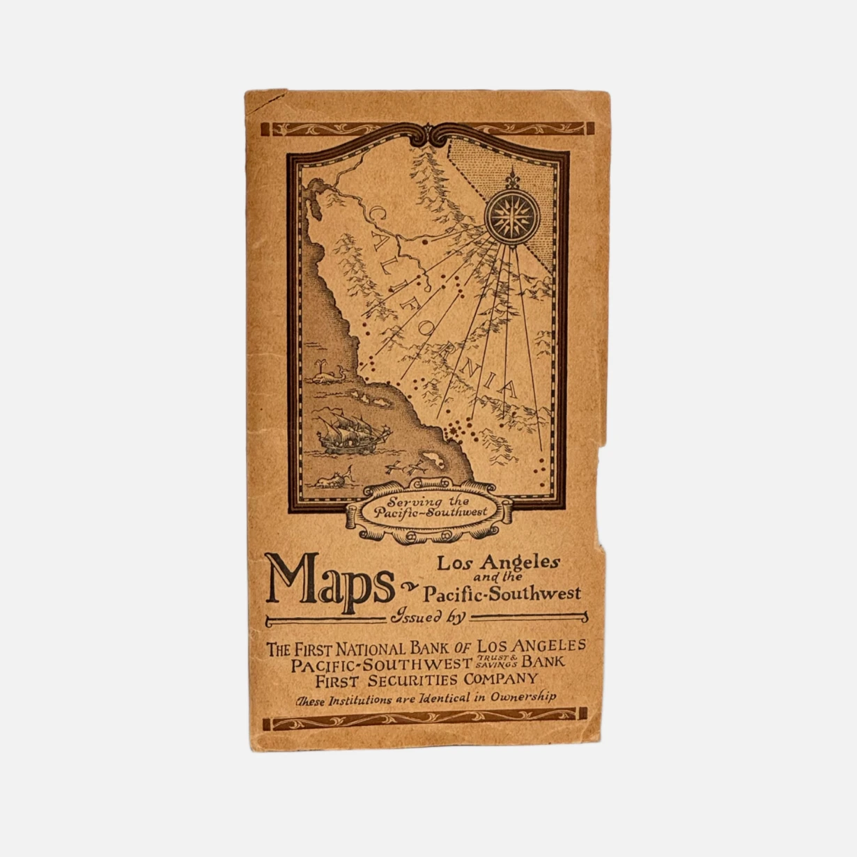
Los Angeles: The First National Bank of Los Angeles et. al., 1925. Single sheet, printed both sides, folding into original pictorial wrappers. Opened: 19 x 24 inches; Wrappers: 3.75 x 6.75 inches. Front wrapper with a decorative pictorial map of California south of the Bay Area titled "Serving the Pacific-Southwest." Interior with a "City Limits of Los Angeles" map, copyrighted 1922 by Pacific-Southwest Trust & Savings Bank. Rear wrapper printed with a directory of Pacific-Southwest Trust & Savings Bank branches across California, plus Los Angeles branch locations. Recto of main sheet: Map of Los Angeles and Vicinity, California, with street index and legend. Verso: Motor Map of Southern California and Motor Map of the Pacific-Southwest, with automobile mileage table and inset map of Los Angeles & Long Beach Harbors. Relief shown pictorially, together spanning the coast from the Bay Area to San Diego. First National Bank branch locations marked throughout in red.
Very Good. Wrappers age-toned, with one edge chip and a corner chip nearly detached. Map sheet age-toned but clean throughout, with no tears, splits, or writing noted.
A well-preserved and rare example of 1920s Southern California bank-issued promotional cartography — jointly produced by three affiliated Los Angeles financial institutions to advertise their statewide branch network while encouraging automobile tourism, offering a detailed snapshot of the Los Angeles street grid and regional motor routes at the height of the city's 1920s growth.
OCLC 743300749